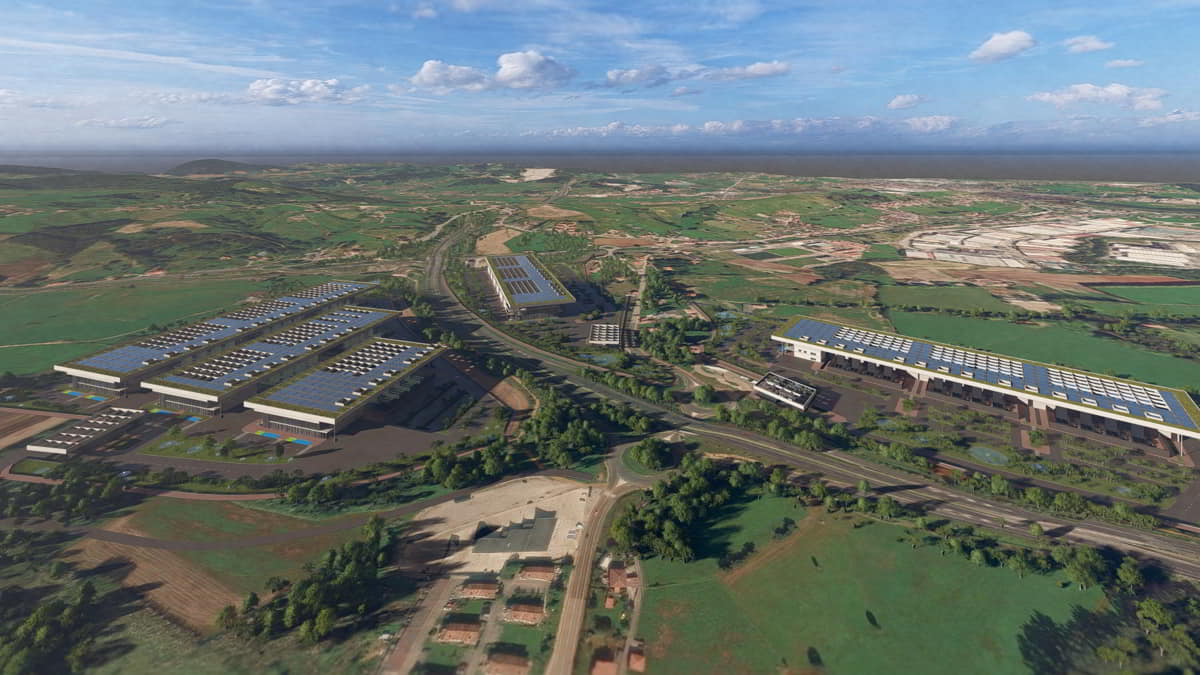
Stoneshield Data Center

 About us About us / section Markets Markets / section Projects
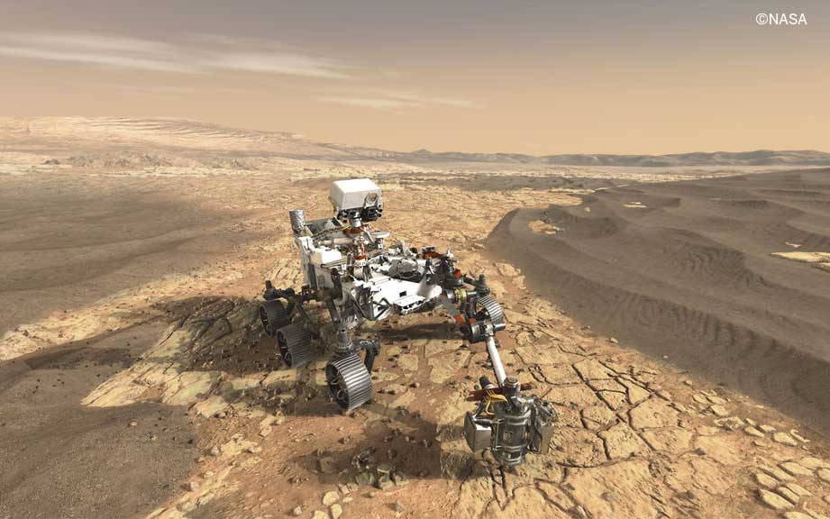
AEROSPACE & DEFENSE


ENERGY
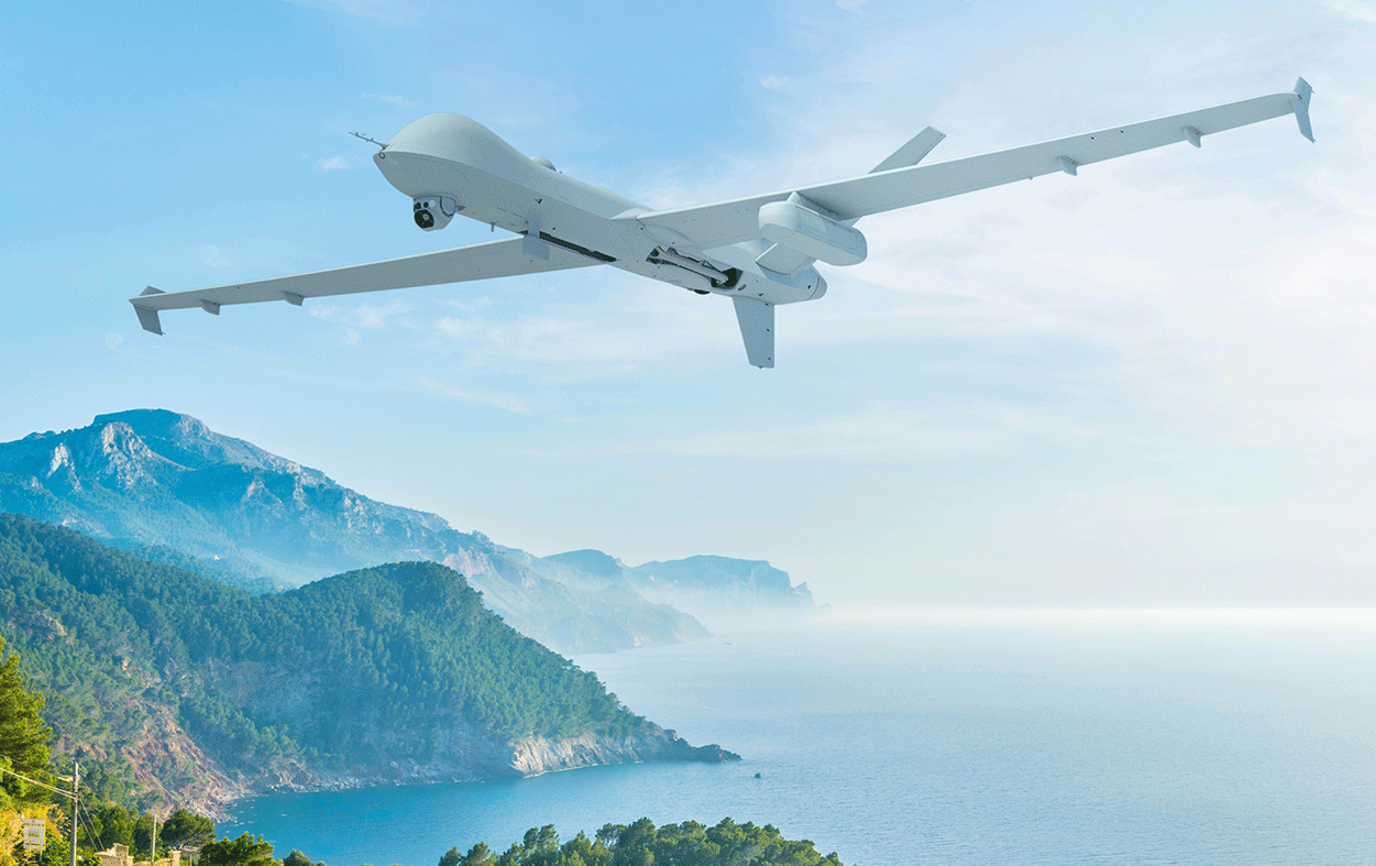
MOBILITY

 Careers Careers / sectionCountriessection About us About us / section Markets Markets / section Projects Careers Careers / sectionCountriessection
The satellite, part of the Meteosat third generation, will enhance weather forecasting, allowing more precise localisation of thunderstorms and improving alerts for ultraviolet radiation or air quality monitoring, among other applications.
Sener is contributing to the development of the 6 satellites that make up the MTG programme, designing and manufacturing several of the critical mechanisms used by its instruments, including the scanning mechanism. This constitutes the most critical part, allowing the satellite to capture images with metre-level precision from a distance of 36,000 kilometres.
The industrial engineering and technology group Sener has taken part in the development of the satellites in the Meteosat Third Generation (MTG) programme, whose MTG-S1 satellite will be launched on Tuesday, 1 July, from Kourou, French Guiana. MTG is the most complex and innovative geostationary weather satellite system ever built. Its fleet will comprise 6 satellites in orbit 36,000 km above the Earth: 4 MTG-I satellites and 2 MTG-S satellites.
In the context of increasingly severe and frequent weather events, the need for more accurate forecasts is growing, and this is the goal of the MTG programme. The programme will improve both weather forecasting and the immediate forecasting of high-impact weather events, such as thunderstorms. It will also help deliver better ultraviolet radiation alerts and improve air quality monitoring, among other applications. The combination of imaging and sounding satellites will, for the first time, make it possible to observe the entire life cycle of a thunderstorm from space.
Sener is contributing to MTG by designing and manufacturing various mechanisms for the instruments onboard the satellites, including the Flexible Combined Imager (FCI) and the Infrared Sounder (IRS). Both the 4 FCIs (onboard the 4 MTG-I satellites) and the 2 IRS instruments (on the MTG-S satellites) have a lifespan of more than 8 and a half years. The FCIs are capable of performing a full scan of the Earth in 10 minutes. To achieve this, they use different filters to capture images in many bands and thus obtain information on temperature or humidity, essential for weather forecasting. The IRS instruments, on the other hand, show the evolution of water vapour structures in the atmosphere and provide highly valuable data for short-term weather forecasts.
More specifically, Sener has developed the scanning mechanism (SCA) and its electronics (SCAE) for the 6 satellites, which are identical in both instruments (FCI and IRS). Sener has also been responsible for the calibration and obturation mechanism (COM) of the 6 satellites (which differs for the 4 FCIs and the 2 IRS instruments):
Ultimately, Sener’s work will contribute to MTG’s goal of providing valuable information in a context of growing interest in and application of meteorological data.
José Ignacio Bueno, Project Manager at Sener, states:“Our involvement in the programme is a clear example of how technology can directly contribute to social well-being, in this case, by delivering better weather forecasts and greater responsiveness to extreme weather events. Sener is proud to be part of such an important programme for Europe, providing cutting-edge technological solutions that strengthen climate and environmental monitoring from space.”

